News and press
Octa Models creates realistic environments of real places: the foundational ground on which any operation on Earth is planned, built and run. Here are its news, and everything a journalist needs to write about it.
The press kit · 7.4 MB · the release, the fact sheet, the descriptions, 20 pictures and the logos
The ground of every operation
Barcelona, built from the rock up in Octa Models: the land rising from the authorities’ own LiDAR, every building one click away, the forests switched on, the Besòs flowing to the sea, the air rising over the warm city, every equation shown — a summer day going down behind Collserola as the full moon rises, and every star above the land.
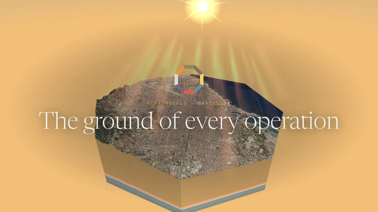
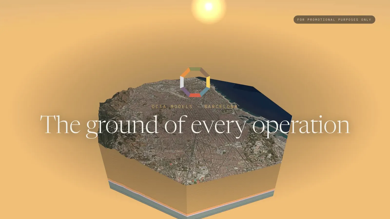
The same city in thirty seconds, ending in Google’s photographed 3D city streamed live into the octagon, down to the Sagrada Família.
For promotional purposes only · 3D city: Google Maps Photorealistic 3D Tiles © Google, shown live in Octa Models with Google’s own attribution
About Octa Models, ready to quote
Tagline · The Ground of Every Operation · What it is · Realistic environments of Planet Earth and Beyond
Octa Models creates realistic environments of real places: the foundational ground on which any operation on Earth is planned, built and run. It models the ecological forces that weigh on every decision — the rock and soil, the water, the air and the sky — on one octagon of real ground, from 1 to 300 km across, anywhere on Earth, from the authorities’ own data, in 2D and 3D. Every value names its source; where none exists, it shows a dash, not a guess. Octa Models is a fruit of Octa Intelligence, a Seed of the incubator Octa HQ.
Octa Models creates realistic environments of real places: the foundational ground on which any operation on Earth is planned, built and run. Every operation answers to the forces of its place — the rock and soil beneath it, the water moving through it, the air and climate around it, the sun above it — and these ecological forces weigh more on a decision than any plan. Octa Models builds them on one octagon of real ground, from 1 to 300 km across, anywhere on Earth, and opens it in 2D and 3D, as tables and as cards. Each model is a storey of the same ground — Ground, Water, Air and Sky — under one clock and one light, and every tab opens with the plain question it answers.
What is known about a place sits with dozens of agencies, in different formats and scales. Octa Models reads them — the country’s own authority first — and puts their answers on the same ground. Every value names its source and how it is known; every equation is shown with its published reference. Where no source exists, the model says so and shows a dash, never another place’s numbers.
Octa Models runs on Octa Intelligence, the contextual and spatial intelligence Seed of Octa HQ, an incubator that develops the methodology, services and tools for regenerative, cooperative and sovereign enterprise. Its work began in 2004; the Beta of the global Ecological model opened in 2026, and the Biological model of cultures is in development.
The facts, at a glance
| Name | Octa Models |
| Tagline | The Ground of Every Operation |
| What it is | Realistic environments of Planet Earth and Beyond |
| Family | A fruit of Octa Intelligence · Octa HQ, the incubator |
| The place | An octagon of ground, 1 to 300 km across, anywhere on Earth |
| Open today | The Ecological models — Ground, Water, Air and Sky (Beta, 2026) |
| In development | The Biological model of cultures: human, animal, plant, aquatic, insect, algae, fungi and bacteria |
| Ahead · 2027 | Corridors, connectivity and hotspots; the Economic aspect |
| How it is seen | 2D map, 3D block, tables and cards; every equation in ∑ Math |
| Aerial photograph | The country’s own aerial photo on the 3D ground — 25 cm a pixel at Breda (ICGC, 2025) |
| 3D buildings | Every building from the national cadastre, at its true height from the LiDAR — 15,998 at Breda |
| Bring your own | The client’s own layers by file, and live readings by API |
| Ask Octa | Claude inside the model: ask about your place in plain words |
| How it is paid | Modelling once, then a monthly subscription for the model and its data |
| Show place | Breda–Montseny, Catalonia, Spain |
| Since | 2004 — more than twenty years of work, many hands (the story) |
| Language | English |
The four models open today, as the engine counts them.
Real screens, from the live engine
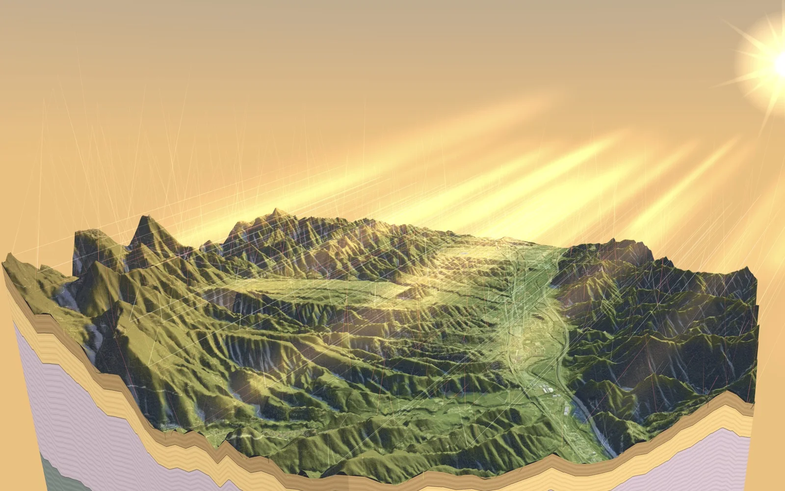
Every picture is the model itself at the show place, Breda–Montseny — never a mock-up. Click a picture to download it at full size, or take them all in the press kit. Credit: “Image: Octa Models”.
The fruit mark and its lock-up
The octagon of the eight aspects drawn as its border — Octa Models is a fruit of Octa Intelligence. The words are outlined in every file, so they look the same on any computer.
Clockwise from the top edge. Night #121319 and cream #F2F0E9 around them.
- Write the name as two words: Octa Models.
- Use the logo files as they are — never redraw, recolour, stretch or add effects to the mark.
- Credit images “Image: Octa Models”. Pictures showing the aerial photograph also carry: “Aerial photo: Ortofoto de Catalunya 25 cm (2025) © ICGC, CC BY 4.0”, and those showing the 3D buildings: “Buildings: © Dirección General del Catastro; heights from ICGC LiDAR”.
- The images are for editorial coverage of Octa Models. Ask before any other use.
- Figures are from the live engine and the demo place. Please quote them with their source.
- Typefaces: Newsreader for names and titles, Plus Jakarta Sans for explaining, IBM Plex Mono for labels and figures — all three free Google Fonts.